
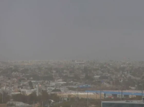
According to the Subdirectorate of Meteorological Studies and Forecasts of the State Civil Protection Secretariat the effects of Cold Front number 13 began to be felt this Sunday afternoon on the coasts of Veracruz.
According to the Warning Systemtto early and the Gray Alert active by this phenomenon, on the coasts of the Gulf of Mexicothe strong winds began to be felt before midnight this Sunday in Veracruz territory; However, the most powerful gusts were in the early hours of this Monday.
You may also be interested in: Passenger truck overturns in Santiago Tianguistenco
On the north and south coasts, sustained winds are expected to have speeds of between 50 and 60 kilometers per hourwhile the gusts could reach 85 kilometers per hour.
While on the central coast, the wind will be stronger, sustained blizzards of up to 70 kilometers per hour, with gusts of up to 110 kilometers per hour.
Starting this afternoon-night, an increase in the potential for rain and storms, high waves and a drop in temperatures is expected.
You may also be interested in: ‘El Charro’, alleged regional head of the CJNG in Aguascalientes, is being prosecuted
In addition, Cold Front number 13 will cause intense occasional rains in Veracruz, Oaxaca, Chiapas y Tabasco; very strong in areas of Hidalgo y Puebla; strong in Tamaulipas, San Luis Potosí and the peninsula Yucatan.